Pix4D Drone Mapping: Pricing, Compatible Drones & Alternatives (2026 Guide)
If you are evaluating Pix4D drone mapping software for your business, you likely have three unanswered questions that the search results rarely address directly: How much does it cost? Which drones actually work with it? And is it better than the alternatives like DroneDeploy? This guide answers all three, with current pricing for 2026, a full compatibility breakdown, and a head-to-head comparison that helps you make a confident purchasing decision.
Table of Contents
- What Is Pix4D Drone Mapping? (A Quick Overview for 2026)
- How Much Does Pix4Dmapper Cost? (Pricing Transparency for 2026)
- Which Drones Are Supported by Pix4D? (Full Compatibility List)
- Pix4D vs. DroneDeploy: Which Is Better for Your Workflow?
- Free and Open-Source Alternatives to Pix4D (For Budget-Conscious Users)
- How to Get Started with Pix4D Drone Mapping (Beginner Workflow)
- Final Verdict: Is Pix4D Right for You in 2026?
What Is Pix4D Drone Mapping? (A Quick Overview for 2026)
Pix4D is a Swiss-made suite of photogrammetry software that transforms drone-captured images into georeferenced 2D maps, 3D models, and point clouds. The core idea is straightforward: you fly a drone over a site, capture hundreds or thousands of overlapping images, and Pix4D stitches them together into survey-grade outputs that professionals can use in CAD, GIS, or BIM workflows.
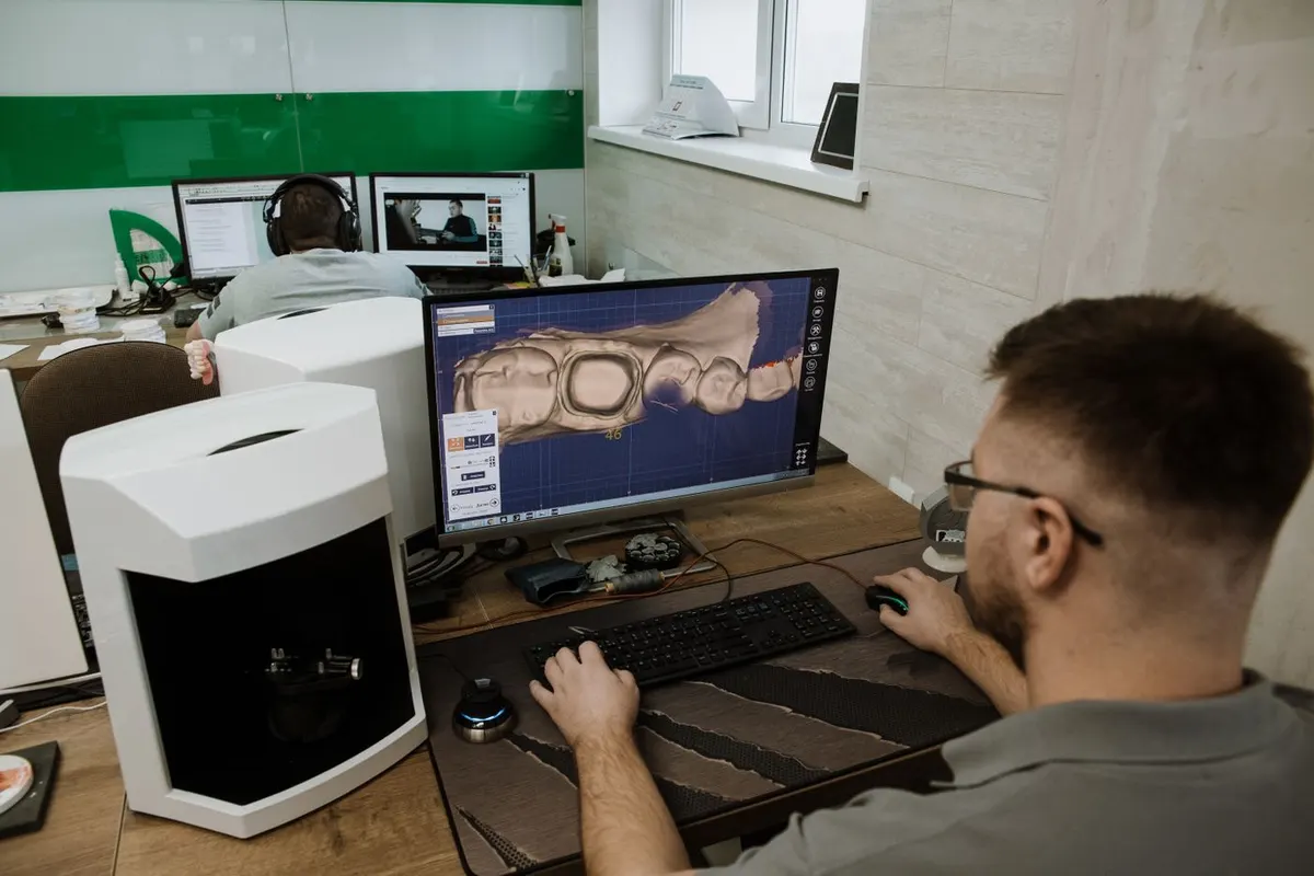
Photo by Ivan Babydov on Pexels
The product lineup has evolved significantly heading into 2026. Pix4Dmapper remains the flagship desktop application for high-precision photogrammetry, but Pix4Dmatic has emerged as the newer standard for large-scale projects, handling thousands of images with faster processing. Pix4Dcloud offers browser-based processing with collaboration features, while Pix4Dcatch lets you create 3D models using just a smartphone or tablet with a LiDAR sensor. The biggest shift this year is the continued push toward cloud-native processing and real-time mapping capabilities, reducing the need for expensive local hardware.
For professionals in surveying, construction, mining, and agriculture, the value proposition is clear: Pix4D drone mapping delivers measurable accuracy, repeatable workflows, and outputs that integrate directly into industry-standard tools. The question is whether the cost and learning curve justify that precision for your specific use case.
How Much Does Pix4Dmapper Cost? (Pricing Transparency for 2026)
Pix4D updates pricing on its website, which is one reason this question appears so frequently in search results. Based on industry reports, reseller listings, and user communities, here is what you can expect to pay in 2026.
Pix4Dmapper Desktop (Perpetual License)
A node-locked perpetual license for Pix4Dmapper typically falls between $3,500 and $5,000. This is a one-time purchase that gives you indefinite access to that version of the software. However, annual maintenance and support fees are often required if you want updates and technical assistance, and those can run $500 to $800 per year. A floating license, which allows installation on multiple machines with one active seat at a time, costs more upfront but suits firms with rotating users.
Pix4Dmatic (The New Standard)
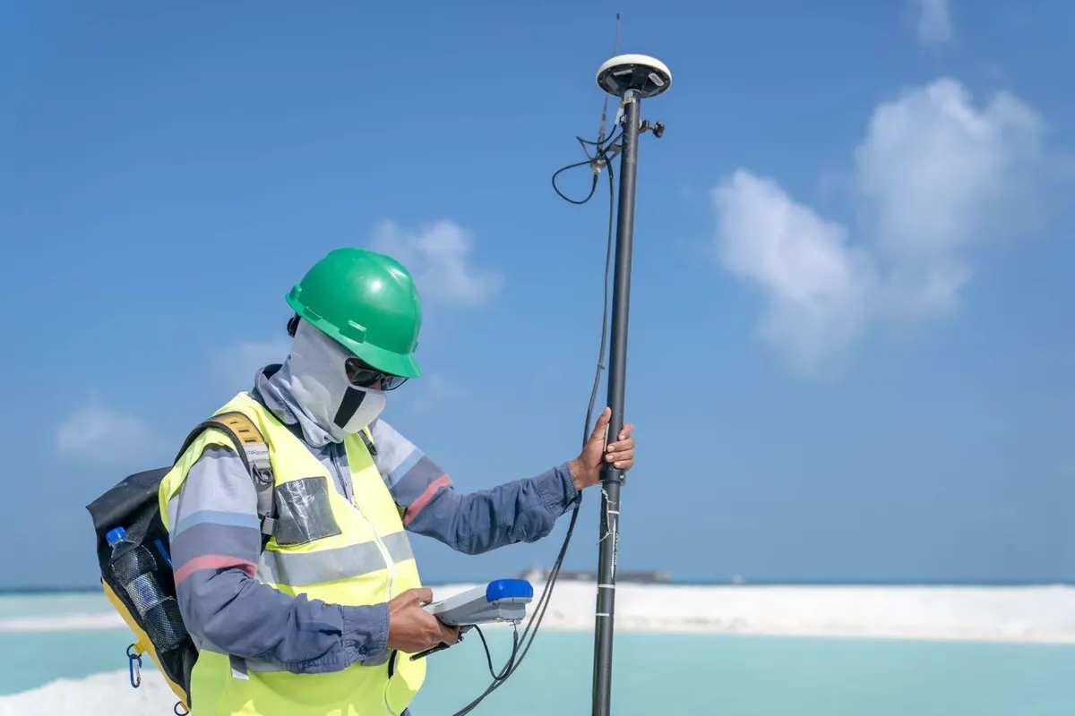
Photo by Asad Photo Maldives on Pexels
Pix4Dmatic is gradually replacing Mapper for large-scale mapping projects, especially those involving corridor mapping or extensive agricultural surveys. The pricing model is subscription-based, with monthly plans for the Pro tier at $499.00 per month or $4,990 billed annually. This shift toward recurring pricing reflects the broader industry trend, but it also means lower upfront costs for firms that prefer operational expenses over capital expenditures.
Pix4Dcloud (Subscription Tier)
Pix4Dcloud offers a free tier with limited processing credits, which is genuinely useful for testing the platform before committing. Always check the Pix4D website for the latest pricing. The Pro tier costs $4,490 per year or $449.17 per month, large volumes of projects will require purchasing additional credits which are less expensive when purchased in bulk. This option appeals to teams that want to avoid managing local hardware and prefer browser-based collaboration. Processing happens on Pix4D's servers, so you can submit a job from a lightweight laptop and receive results without tying up your workstation.
Hidden Costs to Consider
The software license is only part of the equation. Pix4Dmapper and Pix4Dmatic both demand substantial local hardware: a high-end GPU, at least 32GB of RAM, and fast SSD storage are practical minimums for processing large datasets without frustrating slowdowns. Ground control point equipment, including targets and a survey-grade GNSS receiver, adds several thousand dollars if you need centimeter-level accuracy. And of course, the drone itself represents a separate investment, which the next section covers in detail.
Which Drones Are Supported by Pix4D? (Full Compatibility List)
Drone compatibility is one of the most searched and least answered questions about Pix4D drone mapping. The short answer is that Pix4D supports a wide range of consumer and enterprise drones, but the level of integration and accuracy varies significantly.
DJI Drones (The Most Common Choice)
DJI dominates the Pix4D ecosystem for good reason. The Mavic 3 Enterprise, Phantom 4 RTK, and Matrice 300/350 RTK all have native support and well-documented workflows. The Mavic 3E, in particular, has become the go-to choice for many mapping professionals in 2026 due to its mechanical shutter, RTK module option, and reasonable price point. Non-RTK drones like the standard Mavic 3 or Air series can still produce usable orthomosaics, but achieving survey-grade accuracy requires a network of ground control points, which adds time and equipment cost to every project.
Non-DJI Alternatives (Autel, Skydio, senseFly)
The Autel EVO II series, especially the RTK variant, offers a viable alternative for users who prefer to avoid the DJI ecosystem. Skydio's X10 has carved out a niche in inspection and indoor mapping, where its obstacle avoidance and autonomous flight capabilities excel in confined spaces. For large-area agriculture and surveying, the senseFly eBee X fixed-wing drone remains a strong option, covering hundreds of acres in a single flight with Pix4D processing on the backend.
The RTK vs. Non-RTK Decision
RTK, or real-time kinematic positioning, gives your drone centimeter-level positional accuracy during flight by connecting to a base station or correction network. This dramatically reduces or eliminates the need for ground control points, saving hours of setup time on site. The cost-benefit analysis typically favors RTK if you map regularly: an RTK drone costs more upfront but pays for itself in reduced field labor. A non-RTK drone paired with GCPs can achieve similar accuracy, but the workflow is slower and requires survey equipment and expertise.
How to Check Compatibility for Your Specific Drone
Pix4D maintains an official compatibility database on its website, but the most commonly discussed models on forums like Reddit are the DJI Mavic 3 Enterprise, Phantom 4 RTK, Matrice 300/350 RTK, Autel EVO II RTK, and senseFly eBee series. If you are flying a less common model, verify that your drone captures geotagged images in a format Pix4D can read before purchasing a license.
Pix4D vs. DroneDeploy: Which Is Better for Your Workflow?
The comparison between Pix4D and DroneDeploy comes up constantly, and the answer depends entirely on what you need from your mapping software.
Head-to-Head Comparison
Pricing structures differ fundamentally. Pix4D offers perpetual licenses with optional maintenance, which favors heavy users who process large volumes over many years. DroneDeploy operates on a subscription-only model, with plans starting lower but accumulating costs indefinitely. Processing quality is where Pix4D pulls ahead: its photogrammetry engine produces denser point clouds, more accurate digital surface models, and cleaner contour lines, making it the preferred choice for survey-grade work. DroneDeploy processes faster and requires less technical knowledge, which suits construction site monitoring and progress tracking where speed matters more than millimeter precision.
Ease of use tilts toward DroneDeploy. The interface is intuitive, the cloud processing is seamless, and the collaboration tools let multiple stakeholders view and annotate maps without installing software. Pix4D has a steeper learning curve, with more parameters to configure and a desktop-centric workflow that demands technical understanding. Outputs reflect these differences: Pix4D excels at point clouds, DSMs, contour lines, and volumetric calculations for mining and earthworks. DroneDeploy delivers clean orthomosaics, progress photos, thermal maps, and shareable reports that construction teams appreciate.
When to Choose Pix4D
Choose Pix4D if you need survey-grade accuracy and work in surveying, mining, or precision agriculture. The offline processing capability matters when you are on remote sites without reliable internet. The perpetual license model also makes financial sense if you process large datasets regularly over multiple years.
When to Choose DroneDeploy
Choose DroneDeploy if you need a simple, collaborative cloud platform and work primarily in construction, where progress tracking and volume calculations are the main deliverables. The lower monthly commitment reduces risk if your mapping needs are intermittent, and the shallow learning curve means field teams can operate it without specialized training.
Free and Open-Source Alternatives to Pix4D (For Budget-Conscious Users)
Not every project justifies a multi-thousand-dollar software investment. Several free and low-cost alternatives exist, though each comes with trade-offs.
WebODM (The Top Open-Source Option)
WebODM is the most mature open-source photogrammetry platform available today. It processes drone images into orthomosaics, point clouds, and 3D models, producing outputs that are functionally similar to Pix4D's. The software itself is free, and the community around it is active and helpful. The downsides are real: setup requires Docker and some command-line familiarity, processing is slower than commercial alternatives, and the user interface lacks the polish of a paid product. For a small surveying firm with IT support or a researcher with technical skills, WebODM represents genuine value without a licensing cost.
Other Low-Cost Options
Agisoft Metashape offers a one-time license ranging from roughly $180 for the standard edition to $3,500 for the professional version. It is powerful and widely respected in academic and archaeological circles, but it is not free. OpenDroneMap is the command-line engine that powers WebODM, and users comfortable with terminal-based workflows can run it directly without the web interface.
The Trade-Offs
Free software typically lacks dedicated customer support, RTK integration, and cloud processing capabilities. When a project deadline is tight and something breaks, you are reliant on forums and documentation rather than a support ticket system. These tools work best for hobbyists, researchers, and small firms that have in-house technical expertise and can tolerate longer processing times. For more on how professional drone mapping services handle these trade-offs in practice, the team at Wyndstep covers real-world workflows across construction and agriculture projects.
How to Get Started with Pix4D Drone Mapping (Beginner Workflow)
If you are new to photogrammetry, the workflow follows four clear stages.
Step 1: Plan Your Mission
Use Pix4Dcapture, a free mobile app, or a third-party tool like DJI Pilot to define your flight area and parameters. Set front overlap to at least 75 percent and side overlap to 65 percent for standard mapping missions. Higher overlap improves accuracy but increases flight time and image count.
Step 2: Fly and Capture Images
Fly during consistent lighting conditions and avoid long shadows that confuse the photogrammetry algorithm. Maintain a steady altitude throughout the flight. If you are using a non-RTK drone and need high accuracy, place and survey ground control points before the flight.
Step 3: Process in Pix4Dmapper or Pix4Dmatic
Import your images into the software, define the coordinate reference system, and run the processing pipeline. The standard workflow has three stages: initial processing to align images, point cloud densification, and DSM and orthomosaic generation. Processing time depends on image count and hardware, but a typical 500-image dataset might take 30 to 90 minutes on a capable workstation.
Step 4: Export and Analyze
Export the orthomosaic as a GeoTIFF, the point cloud as a LAS or LAZ file, and the 3D mesh as an OBJ if needed. These files import directly into QGIS, ArcGIS, AutoCAD, or BIM platforms for further analysis. Many professionals in construction and utilities use these outputs for site planning, volume calculations, and as-built documentation. If you need drone mapping services without managing the software yourself, Wyndstep provides instant quotes for projects across multiple industries.
Final Verdict: Is Pix4D Right for You in 2026?
The decision comes down to three factors: budget, accuracy requirements, and preferred workflow. If you need survey-grade precision, process large datasets offline, and work in surveying, mining, or agriculture, Pix4D remains the industry benchmark and the perpetual license makes long-term financial sense. If you prioritize ease of use, cloud collaboration, and a lower upfront cost, DroneDeploy or a subscription-based alternative may fit better. For those with technical skills and tight budgets, WebODM offers a capable free option, provided you can tolerate the setup complexity and slower processing.
The best next step is to test the platform yourself. Pix4Dcloud offers a free tier with enough processing credits to run a small project and evaluate the output quality. Alternatively, request a demo through an authorized reseller who can walk through your specific use case and drone setup. The right choice is the one that matches your accuracy needs, your team's technical comfort level, and your project volume over the next several years.