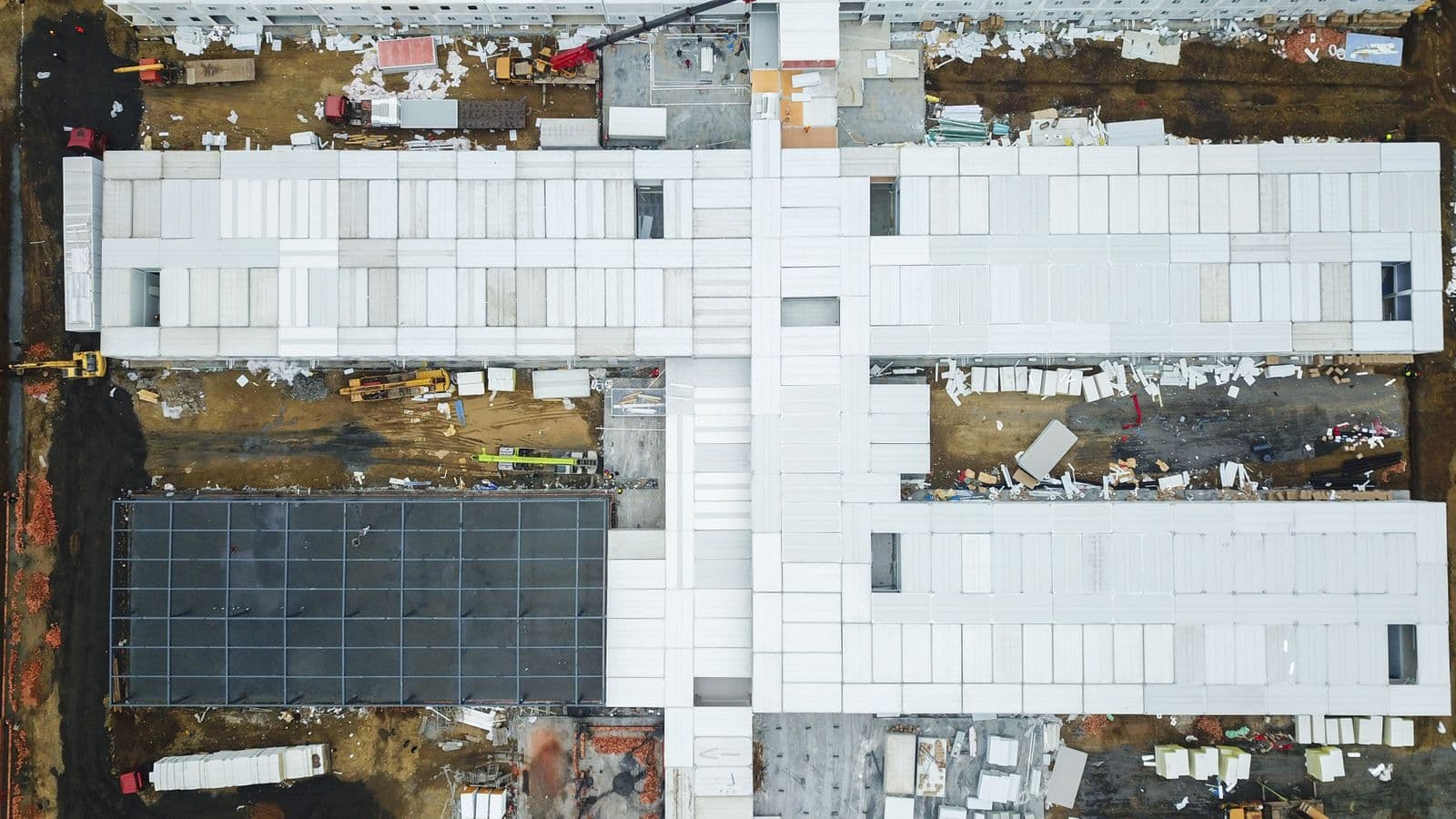
Orthomosaic Drone Mapping: The Complete Guide to Precision Aerial Surveys in 2026
Orthomosaic drone mapping has become the standard method for professionals who need aerial data they can measure, trust, and act on. Unlike a simple photograph taken from the sky, an orthomosaic is a geometrically corrected image where every pixel sits in its true geographic position. This guide explains what orthomosaics are, how drones create them, what affects their accuracy, and which hardware and software options make sense for surveying, construction, agriculture, and land management work in 2026.
Table of Contents
- What Is an Orthomosaic Map?
- Why Drones Excel at Creating Orthomosaics
- How Photogrammetry Creates Orthorectified Images
- Achieving Sub-Inch Accuracy: RTK and GCPs
- Time of Day and Environmental Impacts on Orthomosaic Quality
- Beyond the Orthomosaic: Related Data Products
- Software Options for Orthomosaic Drone Mapping
- Top Drone Hardware for Orthomosaic Mapping in 2026
- Common Applications Across Industries
- FAA Regulations and Compliance for Orthomosaic Flights
- Troubleshooting Common Orthomosaic Issues
- Frequently Asked Questions
- Conclusion
What Is an Orthomosaic Map?
An orthomosaic map is a high-resolution aerial image stitched together from hundreds or thousands of overlapping photographs, then geometrically corrected so the final product has a uniform scale across the entire frame. The correction process removes perspective distortion, lens curvature, and terrain relief displacement, producing a true top-down view where you can measure distances, areas, and volumes directly from the image.
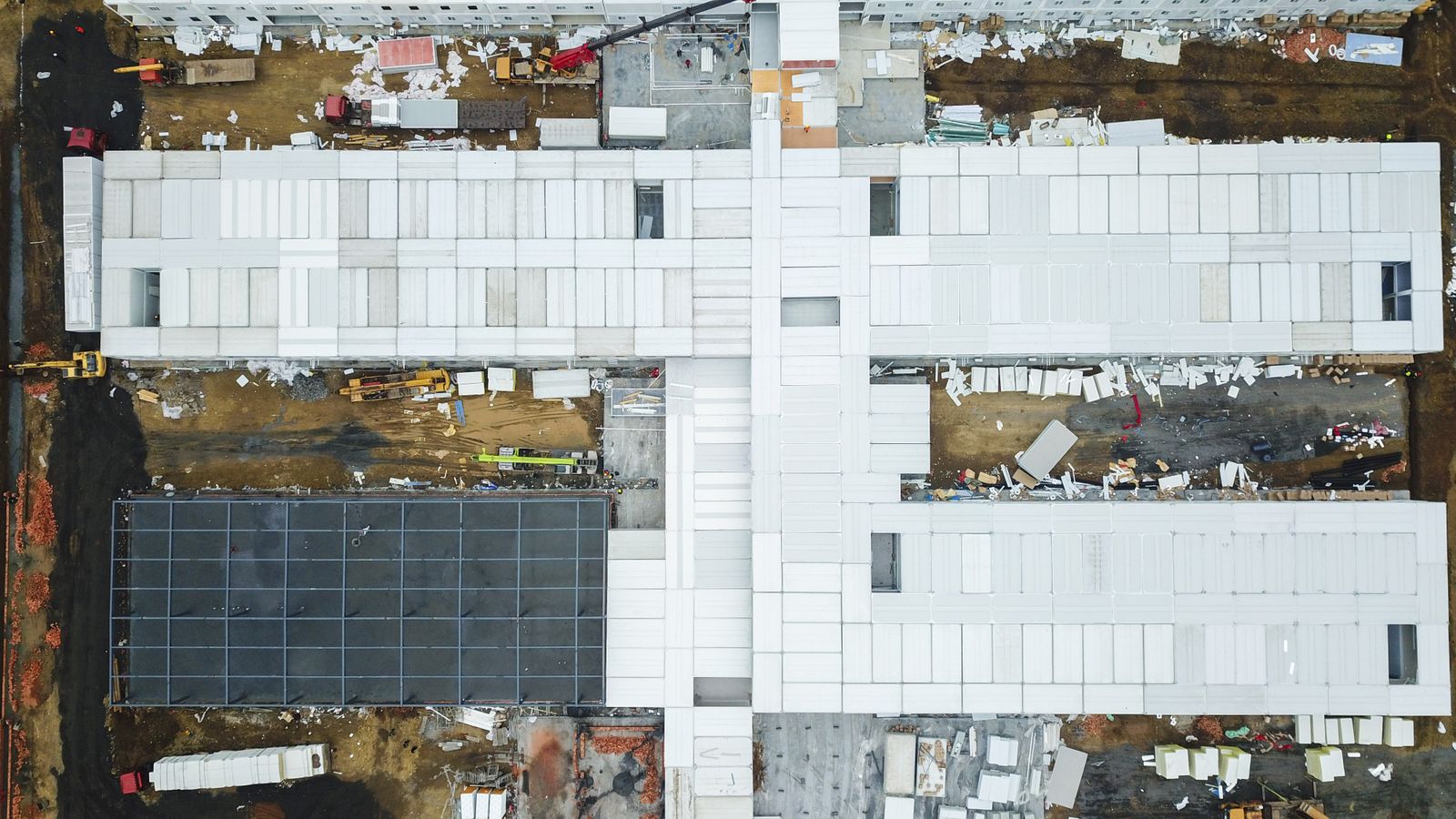
Photo by Greece-China News on Pexels
Standard aerial photos suffer from scale variation: objects near the edge of the frame appear stretched or tilted, and features closer to the camera look larger than those farther away. An orthomosaic eliminates these errors. With proper capture technique, orthomosaics achieve centimeter-level accuracy, making them suitable for engineering design, property boundary documentation, and regulatory compliance.
The USGS standard calls for 70 to 85 percent image overlap during capture, both front-to-back and side-to-side. This redundancy gives photogrammetry software enough common reference points to reconstruct the scene in three dimensions before flattening it into a distortion-free two-dimensional map. While satellites and manned aircraft can produce orthomosaics, drones offer a combination of resolution, flexibility, and cost that neither platform can match.
Why Drones Excel at Creating Orthomosaics
Low-Altitude Precision
Drones typically fly at 100 to 400 feet above ground level during mapping missions. At 100 feet, the ground sample distance, or GSD, ranges from roughly 0.5 to 1 inch per pixel, meaning each pixel in the final image represents a half-inch to one-inch square on the ground. That level of detail reveals cracks in pavement, individual plants in a field, and subtle grade changes on a construction site. Manned aircraft flying at 1,000 feet or higher cannot approach this resolution without prohibitively expensive sensors, and satellite imagery remains orders of magnitude coarser.
Low altitude also lets operators adjust flight paths in real time. If a site contains steep terrain, a drone can follow the surface at a consistent height, maintaining uniform GSD across slopes and valleys that would confuse a fixed-altitude flight plan.
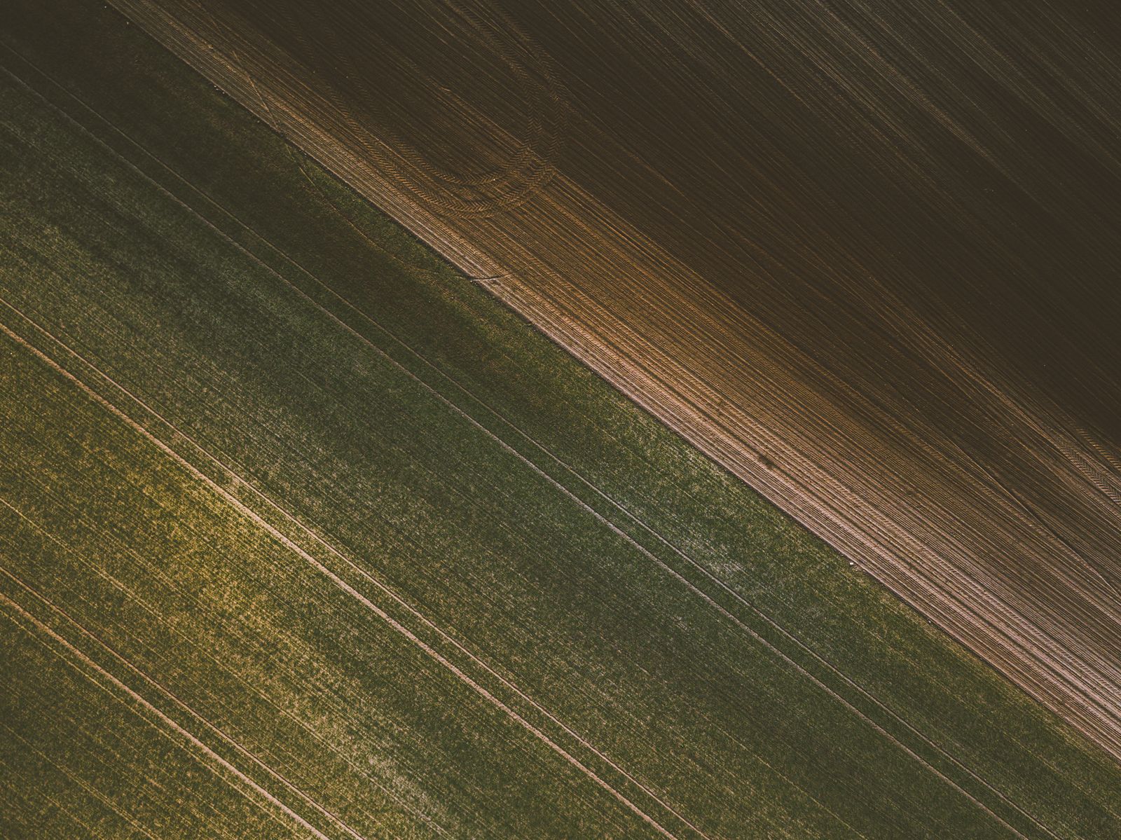
Photo by Mark Plötz on Pexels
Automated Flight Planning
Modern drone mapping software handles flight planning with minimal operator input. The pilot draws a boundary on a satellite map, sets the desired overlap and altitude, and the software generates a grid pattern that guarantees complete coverage. During the flight, real-time telemetry holds the drone at a consistent altitude and camera angle, even in light wind. When the battery runs low, the drone returns to its launch point, the operator swaps in a fresh battery, and the mission resumes from where it stopped. This battery-swapping workflow allows coverage of sites spanning hundreds of acres without gaps or quality loss.
Cost and Accessibility
Drones reduce the cost of orthomosaic creation by 60 to 80 percent compared to manned aircraft surveys. There is no need for a pilot, aviation fuel, or hangar space. In the United States, commercial drone operators need only an FAA Part 107 remote pilot certificate, which requires passing a knowledge test at an approved testing center. The barrier to entry is low enough that construction firms, agricultural consultants, and land management agencies routinely operate their own mapping programs rather than outsourcing every flight.
Rapid deployment matters for time-sensitive work. After a storm, a drone can be airborne within minutes to document damage for insurance claims. On a construction site, a weekly orthomosaic flight tracks progress against the schedule and catches discrepancies before they become expensive rework.
How Photogrammetry Creates Orthorectified Images
Photogrammetry is the science of extracting three-dimensional measurements from two-dimensional images. When a drone flies a grid pattern with high overlap, each point on the ground appears in multiple photographs taken from slightly different positions. Photogrammetry software identifies common features, called tie points, across these overlapping images and uses triangulation to calculate where the camera was and what the terrain surface looks like.
The workflow follows three steps. First, flight planning defines the survey area, altitude, overlap, and camera settings. Second, the drone executes the mission autonomously, capturing hundreds or thousands of images with consistent exposure and focus. Third, processing software reconstructs the scene, generating a sparse point cloud, a dense point cloud, a 3D mesh, and finally the orthomosaic itself.
Orthorectification is the step that makes the orthomosaic measurable. The software corrects each pixel for three sources of distortion: terrain relief, which causes hills to lean outward in raw photos; lens distortion, which curves straight lines near the edges of the frame; and camera tilt, which shifts the apparent position of objects when the sensor is not perfectly level. The corrected pixels are stitched into a single GeoTIFF file with embedded geospatial coordinates. That file opens directly in ArcGIS, QGIS, and AutoCAD Civil 3D, where it aligns with property boundaries, utility layers, and design drawings.
Achieving Sub-Inch Accuracy: RTK and GCPs
Real-Time Kinematic (RTK) Positioning
Standard GPS receivers in consumer drones are accurate to within a few meters, which is not precise enough for survey-grade mapping. RTK-equipped drones, such as the DJI Matrice 350 RTK, receive real-time correction signals from a local base station or a satellite-based augmentation network. These corrections reduce positional error to one or two centimeters during flight. The drone knows exactly where it is when each photo is taken, and that precision propagates through the photogrammetry pipeline into the final orthomosaic.
Ground Control Points (GCPs)
Ground control points are physical targets, often black-and-white checkerboard squares or painted crosses, placed at known locations within the survey area. A surveyor measures each GCP's coordinates with a survey-grade GPS receiver before the flight. During processing, the software uses these known points to georeference the entire dataset, correcting any drift or systematic error in the drone's onboard positioning. The American Society for Photogrammetry and Remote Sensing publishes Positional Accuracy Standards that specify how many GCPs to use and where to place them for different accuracy requirements.
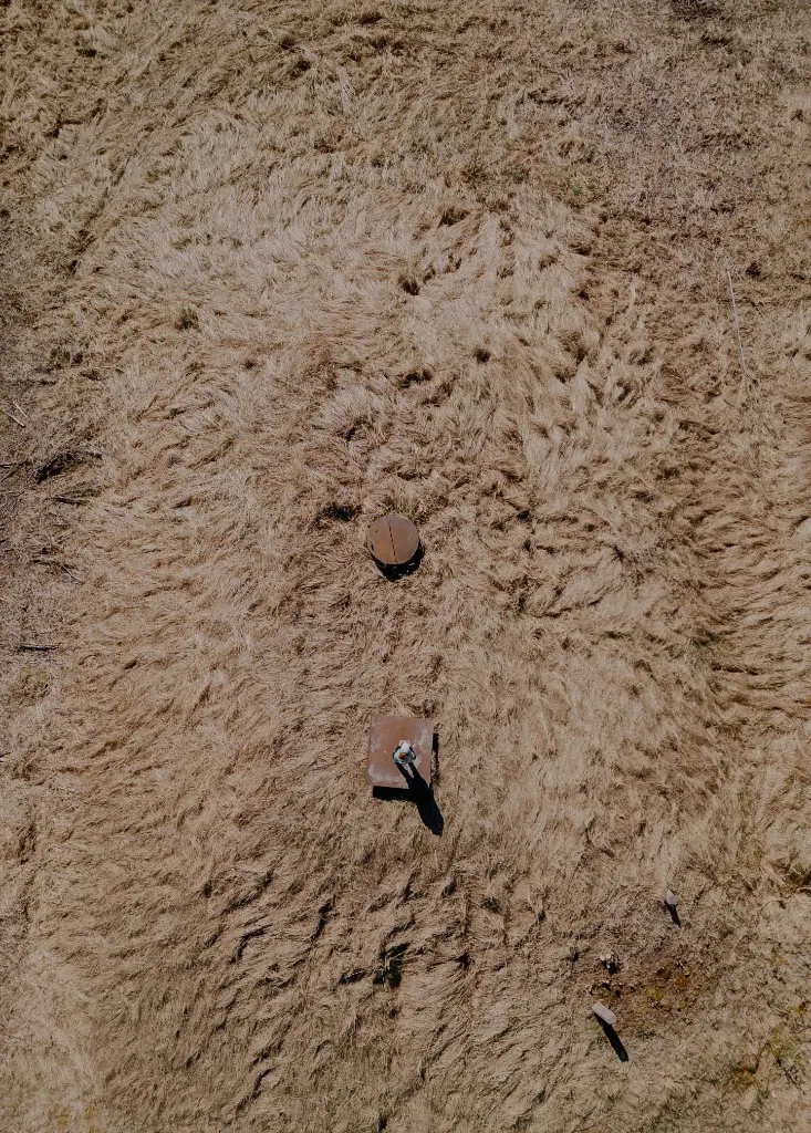
Photo by miami302 on Pexels
When to Use RTK vs. GCPs
RTK alone is sufficient for many construction and agricultural applications where relative accuracy matters more than absolute geodetic precision. Stockpile volume calculations, for example, depend on the shape of the pile, not its exact latitude and longitude. GCPs become necessary for legal and evidentiary work, engineering design that must tie into existing survey control, or any project where the orthomosaic will be compared to data collected by other methods. Combining RTK with GCPs provides redundancy and the highest confidence in data quality. If the RTK correction drops out momentarily, the GCPs still anchor the final product.
Time of Day and Environmental Impacts on Orthomosaic Quality
Shadowing is the most visible environmental factor affecting orthomosaic quality. Flights between 10 AM and 2 PM minimize shadows because the sun is near its zenith. Long shadows cast by buildings, trees, or terrain features obscure detail and create dark patches that confuse photogrammetry software. If the survey area contains tall structures, mid-morning or early afternoon flights keep shadows short and manageable.
Temperature affects flight time more than image quality. On hot afternoons, thinner air reduces propeller efficiency, and battery thermal stress can cut flight endurance by 15 to 25 percent. Morning flights, when temperatures are lower and the air is denser, maximize the area covered per battery. Wind above 15 to 20 miles per hour introduces camera shake and inconsistent overlap between images. Calm mornings, common in many regions, offer the best combination of cool temperatures, low wind, and manageable shadows.
Cloud cover presents a trade-off. Full sun produces high-contrast images with sharp detail, but it also creates harsh shadows and glare from reflective surfaces. Thin overcast acts as a natural diffuser, softening shadows and producing even lighting across the entire survey area. Many experienced operators prefer a high, thin cloud layer to clear skies for orthomosaic work. Seasonal leaf cover also matters: leaf-off conditions in winter reveal bare ground and terrain features hidden under summer canopy, while leaf-on flights capture vegetation health and canopy structure.
Beyond the Orthomosaic: Related Data Products
The orthomosaic is the most recognizable output of drone photogrammetry, but the same image set produces several other data products that serve different analytical needs.
A point cloud is a dense three-dimensional representation of the surface, consisting of millions of individual points with X, Y, and Z coordinates. Point clouds support volume calculations, terrain analysis, and feature extraction. When the points are connected into a continuous surface and overlaid with image texture, the result is a 3D mesh suitable for visual inspection and digital twin creation.
The digital terrain model, or DTM, represents the bare-earth surface with vegetation, buildings, and other above-ground features removed. Engineers use DTMs for drainage design, cut-and-fill analysis, and flood modeling. The digital surface model, or DSM, includes all surface features and is used for canopy height measurement, viewshed analysis, and obstruction surveys.
Time-series analysis combines orthomosaics from repeated flights over weeks, months, or years. Construction teams track progress against the schedule. Farmers monitor crop emergence and canopy development. Environmental scientists measure erosion, vegetation encroachment, and shoreline change. The value of a single orthomosaic multiplies when it becomes part of a historical record.
Software Options for Orthomosaic Drone Mapping
Professional Paid Software
DJI Terra processes imagery from DJI drones and can generate 2D orthomosaics in real time for time-sensitive projects. It integrates directly with DJI flight logs and offers strong tools for construction and inspection workflows. Pix4Dmatic handles large-scale projects with advanced accuracy reporting and is built for enterprise survey teams. DroneDeploy operates entirely in the cloud with collaboration features that let multiple stakeholders view, annotate, and share orthomosaics from a web browser, making it popular in agriculture and construction. Agisoft Metashape runs on a desktop workstation and offers powerful 3D modeling capabilities with flexible pricing tiers ranging from a standard edition to a professional version with full geospatial tools.
Cloud-Based and Video-Based Alternatives
SkyeBrowse takes a different approach by processing drone video rather than still photographs. Its cloud-based videogrammetry engine extracts frames from a short video orbit of the site and produces a GeoTIFF orthomosaic in minutes, with accuracy reaching sub-0.1 inch at 16K resolution. This workflow eliminates the need for grid flight planning and reduces time on site.
WebODM is the strongest free, open-source option available. It generates orthomosaics, point clouds, digital elevation models, and 3D models with no license fee. The trade-off is that WebODM requires self-hosting via Docker and some technical expertise to install and configure. For organizations with IT support and a tight budget, it is a capable alternative to commercial software.
Cost Comparison at a Glance
WebODM is free but requires technical setup. DroneDeploy subscriptions range from $149 to $299 per month. SkyeBrowse uses per-project pricing. Pix4Dmatic starts around $350 per month. Agisoft Metashape offers one-time purchase options from $549 for the standard edition to $3,499 for the professional version. DJI Terra is included at no additional cost for owners of DJI Enterprise drones.
Top Drone Hardware for Orthomosaic Mapping in 2026
The DJI Matrice 350 RTK leads the market with its integrated RTK module, 55-minute flight time, and IP55 weather resistance. It supports multiple payloads, including the Zenmuse P1 full-frame camera and the L1 LiDAR sensor, making it versatile enough for projects that require both photogrammetry and laser scanning.
The DJI Mavic 3 Enterprise offers a compact, portable alternative with a mechanical shutter that eliminates rolling shutter distortion. An RTK module is available for survey-grade accuracy, and the drone's small size makes it ideal for confined sites and rapid deployment.
Autel Robotics' EVO II Pro RTK V3 features a 6K camera with an adjustable aperture and competitive RTK accuracy. It lacks the geofencing restrictions found on some competing platforms, which matters for operators working in complex airspace. The SenseFly eBee X is a fixed-wing drone designed for large-area surveys, covering up to 500 acres per flight with longer endurance than any multirotor.
Entry-level mapping drones start around $3,500. Professional RTK systems range from $10,000 to over $20,000. Total investment, including software subscriptions, batteries, and GCP equipment, can reach $25,000 or more for a fully equipped survey program. Many firms start with a single drone and expand their fleet as project volume grows. Aerial mapping services like those offered by Wyndstep provide an alternative for organizations that need orthomosaic data without the upfront hardware investment.
Common Applications Across Industries
Construction teams use orthomosaics for progress tracking, stockpile volume calculations, cut-and-fill analysis, and as-built verification against design drawings. A weekly flight replaces days of manual survey work and creates a visual record that resolves disputes before they escalate.
In agriculture, orthomosaics support NDVI crop health mapping, irrigation planning, yield estimation, and field boundary surveys. The same flight that produces a standard orthomosaic can generate a vegetation index map that shows stressed areas days or weeks before they are visible to the naked eye.
Infrastructure inspection covers power line corridors, pipeline rights-of-way, cell tower sites, and bridge and dam assessments. Orthomosaics provide a permanent, measurable record of asset condition that can be compared across inspection cycles.
Land management applications include property boundary surveys, wetland delineation, forestry inventory, and erosion monitoring. Legal and evidentiary uses are growing: orthomosaics are admissible in court for property documentation, pre-construction condition surveys, and dispute resolution. Unique counting applications, such as cattle counts on ranches, vehicle counts in parking lots, and tree counts in orchards, demonstrate the versatility of high-resolution orthomosaics for tasks that would be impractical with ground-based methods.
FAA Regulations and Compliance for Orthomosaic Flights
All commercial orthomosaic mapping operations in the United States require a remote pilot certificate under FAA Part 107. The certification process involves passing an aeronautical knowledge test and completing recurrent training every 24 months.
Mapping flights in controlled airspace require authorization through the Low Altitude Authorization and Notification Capability system, or LAANC. Many mapping missions operate at altitudes that require airspace coordination, particularly near airports. The standard altitude limit is 400 feet above ground level, though most high-resolution orthomosaic work is flown at 100 to 200 feet. Altitude waivers are available for operations that need to exceed the limit.
Visual line of sight rules require the pilot or a designated visual observer to maintain unaided visual contact with the drone throughout the flight. Large survey areas may need multiple flight sessions or a visual observer positioned to maintain sight lines. Night operations are now permitted under Part 107 with anti-collision lighting, and some operators prefer night flights to avoid daytime heat distortion over paved surfaces.
Recordkeeping matters for both regulatory compliance and evidentiary chain of custody. Maintain flight logs, processed data, and ground control documentation. If an orthomosaic is ever used in a legal proceeding, the ability to demonstrate how and when it was collected strengthens its admissibility.
Troubleshooting Common Orthomosaic Issues
Stitching failures occur when the software cannot find enough tie points to align images. The most common causes are insufficient overlap below 70 percent, featureless terrain such as water, snow, or uniform crop fields, and sudden altitude changes during capture. Increasing overlap to 80 or 85 percent and placing GCPs in low-texture areas usually resolves the problem.
Blurry or soft areas in the orthomosaic often trace back to high wind during capture, slow shutter speed, or lens vibration. Use a mechanical shutter when available, set shutter speed to 1/1000 second or faster, and avoid flying in sustained winds above 15 miles per hour.
GPS inaccuracies appear as drift or sudden jumps in the orthomosaic. These result from poor satellite geometry, loss of RTK correction signal, or multipath interference near tall structures. Confirm RTK fix status before each flight and use GCPs for post-processing correction when absolute accuracy is critical.
Color inconsistencies between adjacent images happen when auto-exposure settings change during the flight or when cloud shadows pass over the site. Lock exposure settings before takeoff and fly during consistent lighting conditions, ideally between 10 AM and 2 PM.
Large file sizes are a practical concern. A single orthomosaic for a 100-acre site can exceed 5 to 10 gigabytes. Cloud processing platforms with fast upload connections help, but plan for adequate local storage and transfer time when working with desktop software.
Frequently Asked Questions
What is the difference between photogrammetry and orthomosaic?
Photogrammetry is the broader science of measuring from images. An orthomosaic is one specific output of photogrammetric processing, alongside point clouds, 3D meshes, and elevation models.
How much does a mapping drone cost?
Entry-level systems start at $3,500. Professional RTK-equipped drones range from $10,000 to $20,000. Total investment including software and GCP equipment can reach $25,000 or more.
Can I make orthomosaics for free?
Yes. WebODM is a free, open-source option that requires self-hosting via Docker and some technical expertise.
What file format do orthomosaics use?
GeoTIFF is the standard format, containing embedded geospatial coordinates for direct integration with GIS and CAD platforms.
Conclusion
Orthomosaic drone mapping delivers survey-grade accuracy, a suite of complementary data products, and cost efficiency that traditional aerial survey methods cannot match. Success depends on three factors: proper flight planning with adequate overlap and consistent lighting, understanding when to use RTK positioning versus ground control points, and selecting software that fits the project workflow and budget.
A small pilot project is the best way to evaluate how orthomosaic mapping fits an organization's specific needs. Fly a single site, process the data, and measure the results against existing survey methods before scaling up. For surveyors expanding their service offerings, construction managers improving project documentation, or land managers tracking environmental change, orthomosaic drone mapping is an essential tool for precision work in 2026.