About Wyndstep Aerial Mapping
Dallas-Fort Worth based professional aerial mapping services delivered with military precision and engineering excellence

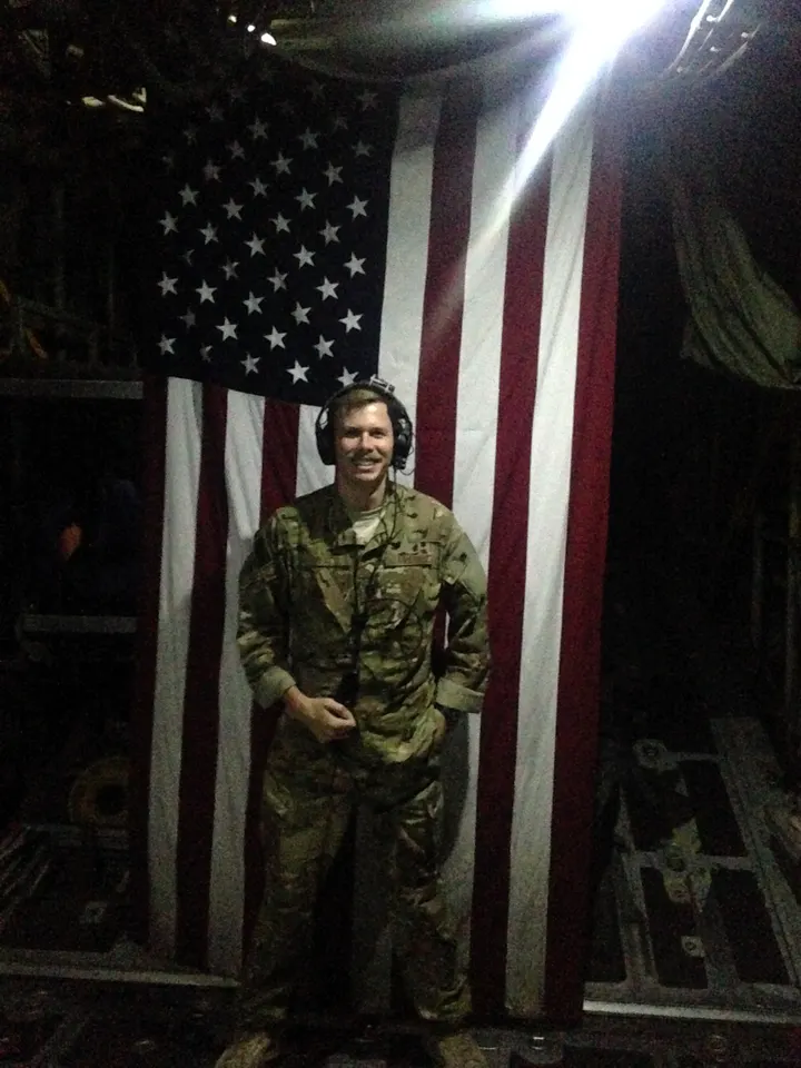
Justin Tyner — Founder & Operator
Justin is an engineer, USAF aviator, commercial pilot, and certified remote pilot. He holds a Master's degree in Geographic Information Systems from Penn State and a Bachelor's in Systems Engineering from the United States Air Force Academy.
With a career spanning both manned and unmanned aviation, Justin brings a deep understanding of flight operations, data accuracy, and project execution. He has managed complex contracts, flown diverse airframes, and delivered geospatial products to clients ranging from government agencies to private developers.
His commitment to excellence ensures that your aerial mapping project will be completed with clear communication, uncompromising professionalism, and at a competitive price.
Ready to Work Together?
Get your quote in minutes and experience our exceptional service firsthand.