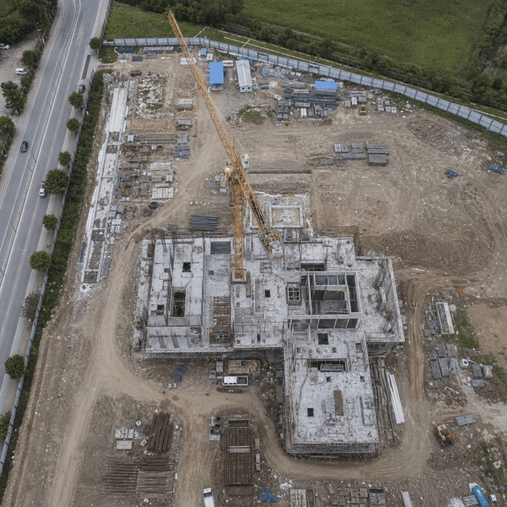
Benefits of Drone Site Mapping Technology
By Justin Tyner, MGIS, ATP, Founder of Wyndstep
Drone site mapping is transforming industries with its innovative approach. It offers a new way to gather data and insights.
This technology uses aerial mapping drones to capture detailed images. These images are then processed into maps and 3D models.
Drone mapping services are becoming more accessible. You can easily find drone mapping services near you through online directories.
OpenDroneMap is a popular tool in this field. It helps process aerial imagery into useful data.
The benefits of drone site mapping are vast. It enhances efficiency, accuracy, and safety in various sectors.
As drone technology advances, its applications continue to grow. This makes it an exciting time for industries to adopt drone site mapping.
What Is Drone Site Mapping?
Drone site mapping is a method of collecting aerial data using specialized drones. These drones are equipped with high-resolution cameras and sensors.
The process involves capturing detailed images of large areas from the air. These images are then used for creating maps and 3D models.
Drone site mapping provides several advantages over traditional surveying methods. It is faster, more accurate, and less intrusive.
Key elements of drone site mapping include:
- Use of aerial mapping drones
- Collection of high-resolution images
- Processing into maps and models
Drone site mapping is becoming a standard practice in various industries. This technology provides a unique perspective that is essential for detailed analysis and decision-making.
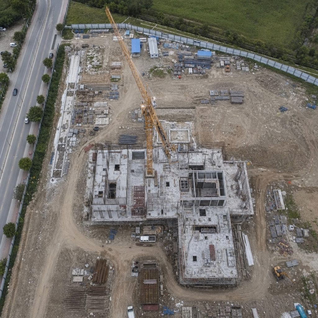
How Drone Site Mapping Works: Key Technologies and Methods
Drone site mapping relies on several advanced technologies. These technologies enable efficient data collection and processing.
Drones fly over sites capturing high-resolution images. These images cover extensive areas in a short time span.
Data from drone cameras are processed using specialized software. This process converts raw data into maps and 3D models.
Key technologies and methods in drone site mapping include:
- High-resolution cameras
- GPS for precise location tracking
- Software for mapping and modeling using photogrammetry
- Real Time Kinematic (RTK) correction
Apart from cameras, drones often carry specialized sensors such as thermal band infrared or LiDAR which natively collects high-precision 3D points of the surfaces it scans. These sensors collect additional data layers, enhancing mapping accuracy.
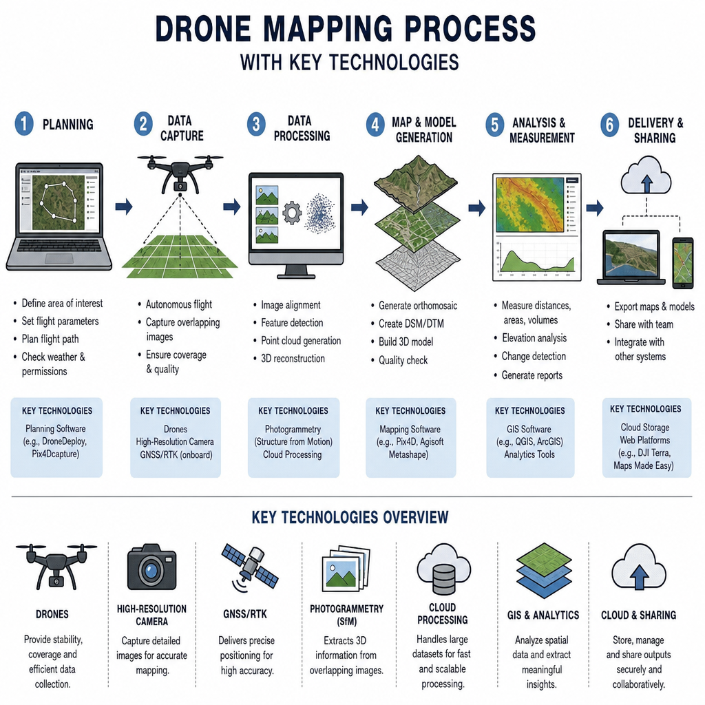
Photogrammetry and UAV Mapping Explained
Photogrammetry is a critical process in drone mapping. It involves measuring distances from images, producing accurate maps.
Drone Photogrammetry converts aerial photos into 3D maps and models. It's especially useful in detailed terrain mapping.
The way it works is by finding common points across multiple overlapping images, it then uses the drone's position at the time each photo was taken to triangulate the position of that pixel. It does this thousands and thousands of times across a given set of photos. The result is a point cloud that can be processed into a digital terrain model, generate topographic contour lines, or generate a 3D rendering of the scene.
UAV mapping utilizes Unmanned Aerial Vehicles (UAVs) to conduct photogrammetry. It improves precision in mapping large areas with minimal effort.
Benefits of photogrammetry and UAV mapping:
- High detail and accuracy
- Efficient large-area mapping
- Minimal on-ground disruption
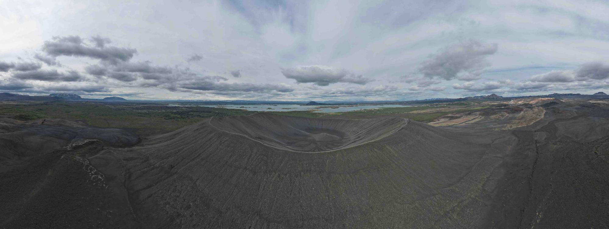
by Bernd 📷 Dittrich (https://unsplash.com/@hdbernd)
Popular Drone Mapping Software and Apps
Several software tools support drone mapping. They convert drone-captured images into detailed maps and models.
Popular software options include solutions like DroneDeploy, OpenDroneMap, and Pix4D. These are user-friendly and provide robust mapping features.
They often come as apps for drones, optimizing the mapping process. Users benefit from real-time data processing and analysis.
Top drone mapping software and apps:
- OpenDroneMap for open-source processing
- Pix4D for advanced photogrammetry
- DroneDeploy for mapping planning and data processing
- DJI Ground Station Pro for flight planning
- UGCS for advanced flight planning
These applications streamline mapping, making it accessible to various industries.
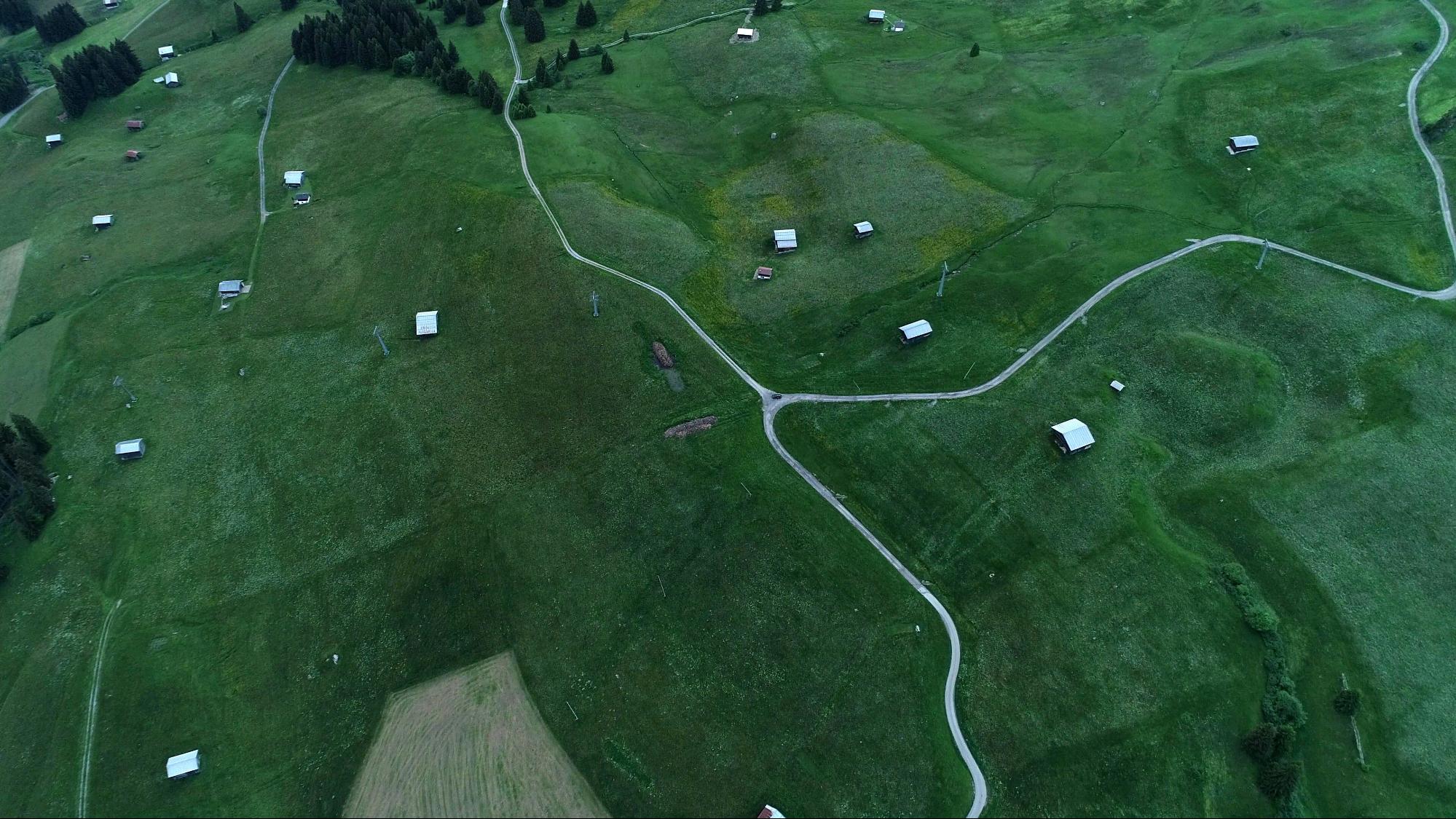
by Jose De Queiroz (https://unsplash.com/@mirasteilas)
Major Benefits of Drone Site Mapping
Drone site mapping offers numerous advantages across industries. These benefits make it an attractive option for professionals.
A key advantage is speed. Drones quickly cover large areas, far faster than traditional methods. This efficiency reduces project timelines significantly.
Every region of the country has its own challenges with airspace, local laws, weather, and cultural acceptance of drones (some people don't like drones and can be confrontational even when the drone pilot is doing nothing wrong).
A quick search for drone mapping services near me , or drone pilot near me will likely find you someone quickly. Be sure to ask about their experience with mapping missions as it takes an understanding of sun position, winds, overlap, RTK, ground control points, and camera settings to get a truly great map.
Accurate data collection is another benefit. The high-resolution imagery and precision sensors guarantee superior data quality. Better data leads to improved decision-making.
Cost savings are significant with drone technology. Less need for manned aircraft and on-ground manpower results in lower operational costs. Projects become more budget-friendly.
Safety improvement is yet another benefit. Drones reduce the need for personnel in hazardous areas. This keeps project teams safer.
Key benefits of drone site mapping:
- Swift area coverage
- Enhanced data accuracy
- Reduced costs
- Increased safety
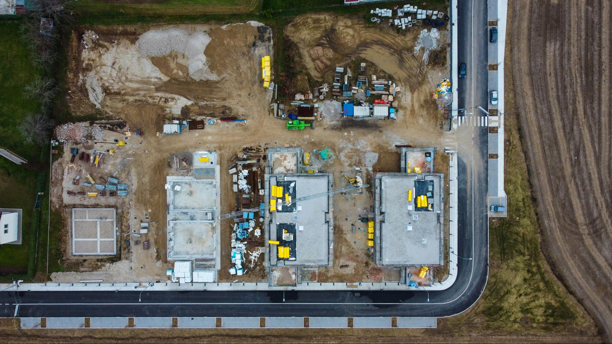
by Gabriele Tirelli (https://unsplash.com/@gabrielesupertramp)
Speed and Efficiency
Drone site mapping excels in speed and efficiency. Traditional surveying can take days, but drones complete it in hours.
Drones achieve this by flying over large areas quickly and capturing detailed images. This reduces the need for manual ground-based surveys.
Key efficiency factors of drone mapping:
- Rapid data collection
- Shortened project timelines
- Quick area assessment
Accuracy and Data Quality
Drone technology stands out for its accuracy and data quality. High-resolution cameras and advanced sensors enhance precision.
This ensures that data collected is reliable for analysis. Accurate data leads to informed decisions and successful project outcomes.
Main features ensuring data quality:
- Precision GPS for exact location
- High-resolution imagery for detail
- Advanced sensor integration
Cost Savings
Drones bring substantial cost savings to site mapping projects. They lower labor costs by reducing the need for extensive manpower.
Additionally, drones minimize equipment expenses and operational costs. This makes drone mapping a cost-effective solution for many projects.
Financial advantages of using drones include:
- Less manpower required
- Reduced equipment costs
- Lower operational expenditures
Safety Improvements
Using drones in site mapping also enhances safety. Drones can access difficult and hazardous areas, preventing risk to personnel.
They also eliminate the need for physical presence in dangerous locations, keeping staff safe. This results in a safer work environment.
Drones improve safety through:
- Remote data collection
- Reduced personnel exposure to hazards
- Access to hard-to-reach areas
Industry Applications of Drone Site Mapping
Drone site mapping technology has found a place in various sectors. It provides solutions that streamline operations and enhance outcomes. Construction, agriculture, and mining are just a few fields benefiting from drones.
In construction, drones monitor site progress effectively. For agriculture, they aid in crop analysis and soil health evaluation. Mining operations leverage drones to assess and manage resources efficiently.
These applications show how drones deliver value across diverse industries. Drones not only optimize operational processes but also drive innovation.
Key industries benefiting from drone site mapping:
- Construction and real estate
- Agriculture and environmental monitoring
- Mining, utilities, and infrastructure
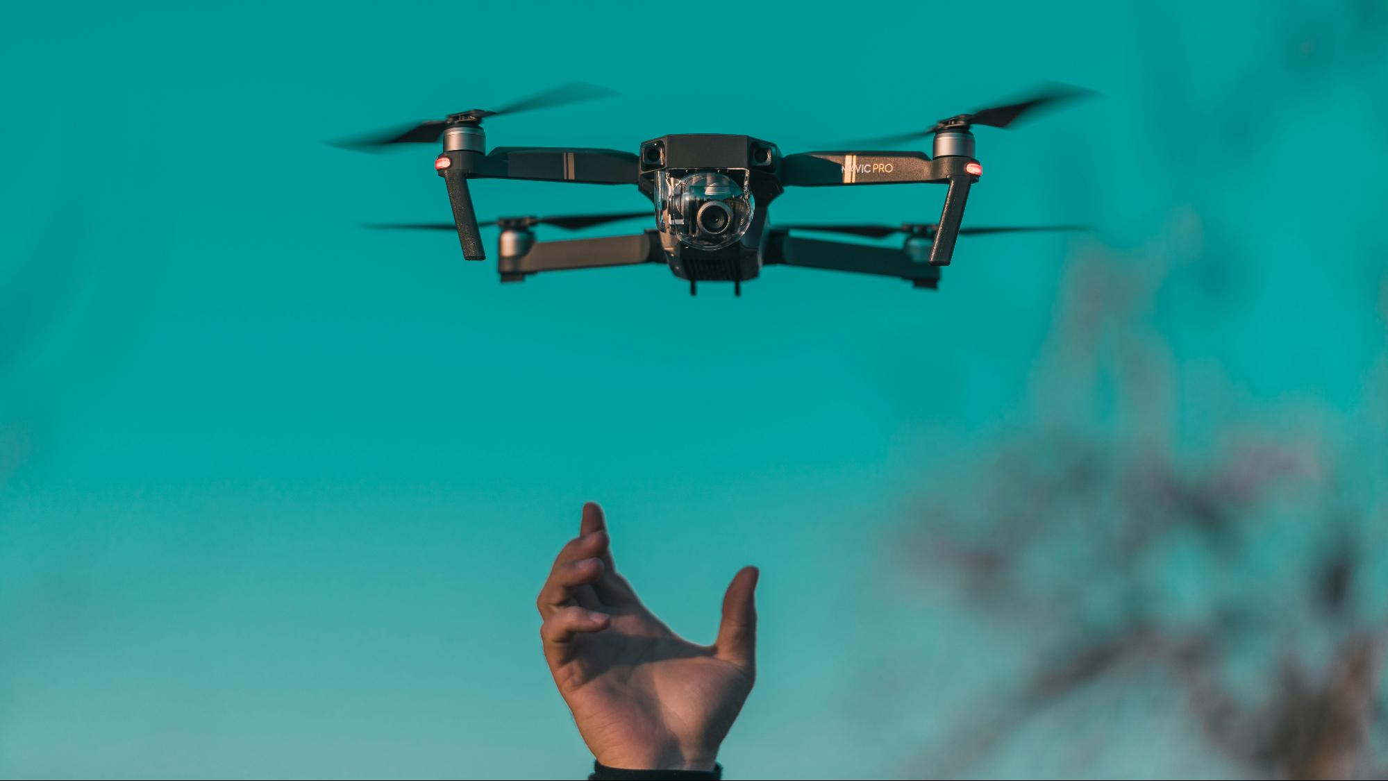
by Diana Măceșanu (https://unsplash.com/@dyana)
Construction and Real Estate
In construction and real estate, drones transform site assessments. Aerial views improve project planning and real-time progress tracking.
Drones capture detailed topographies and 3D models for accurate planning. This ensures project timelines and budgets are better managed.
Key applications in construction include:
- Site progress monitoring
- 3D modeling for planning
- Real-time updates and adjustments
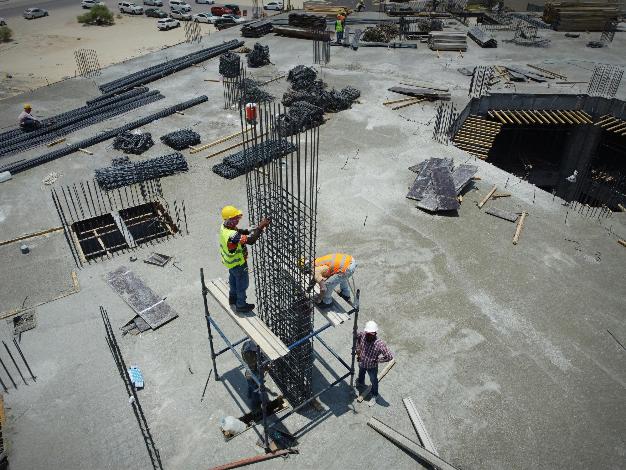
by Glenov Brankovic (https://unsplash.com/@glenovbrankovic)
Agriculture and Environmental Monitoring
Drones offer significant benefits for agriculture and environmental monitoring. They provide precise crop health analysis and support sustainable farming.
For environmental monitoring, drones assess ecosystems with minimal disruption. This helps in preserving natural habitats while collecting essential data.
Key uses in agriculture and environment:
- Crop health analysis
- Sustainable farming support
- Ecosystem assessment
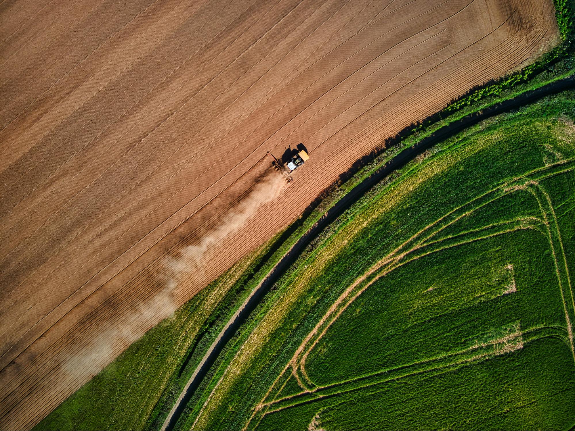
by Red Zeppelin (https://unsplash.com/@redzeppelin)
Mining, Utilities, and Infrastructure
Drone site mapping offers crucial support to the mining, utilities, and infrastructure sectors. In mining, drones are used for terrain mapping and resource management.
Utilities leverage drones for inspecting and maintaining networks from above. Infrastructure projects benefit from drones in managing and monitoring large-scale developments.
Key benefits in these sectors include:
- Efficient resource management
- Infrastructure monitoring
- Rapid inspection capabilities
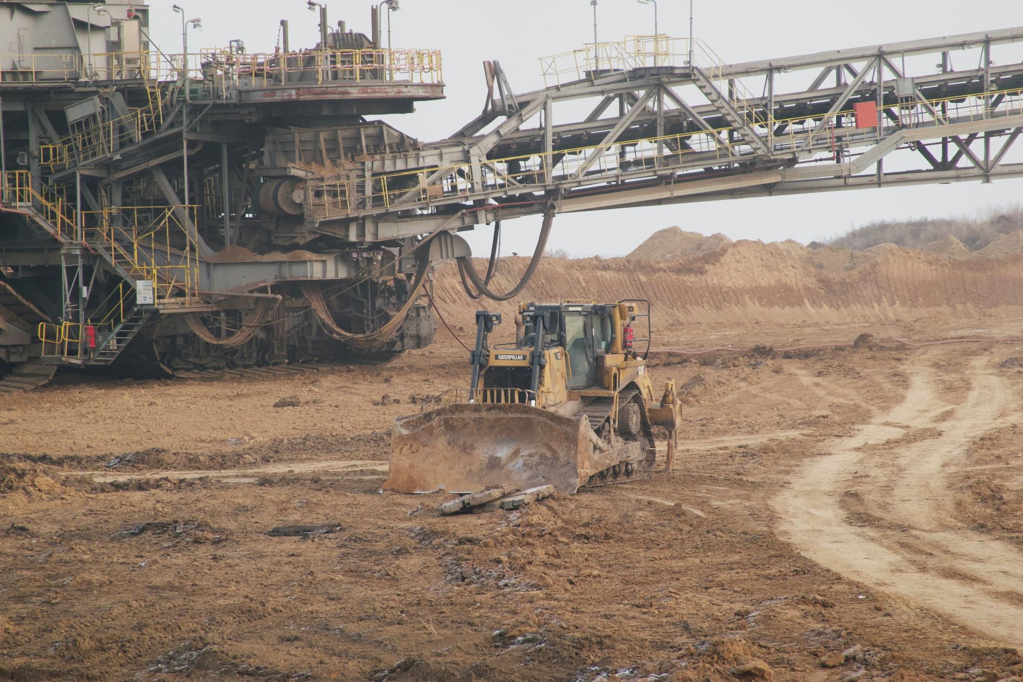
by Sven Eisenschmidt (https://unsplash.com/@sveneisenschmidt)
Choosing the Right Drone Mapping Services and Tools
Selecting the right drone mapping service is vital for success. Consider the project's requirements and the technology's capabilities. Not all drones are suited for every task, so evaluate options carefully.
Look into software compatibility, like OpenDroneMap, and required features. Determine whether an app for drones complements the operational needs.
Consult with professionals to ensure the optimal setup for your site. Explore reviews and testimonials for tried-and-tested options. Engaging with local services makes support and training accessible.
Essential factors in choosing drone mapping services:
- Project requirements and scale
- Software compatibility (e.g., OpenDroneMap)
- Local availability and support options
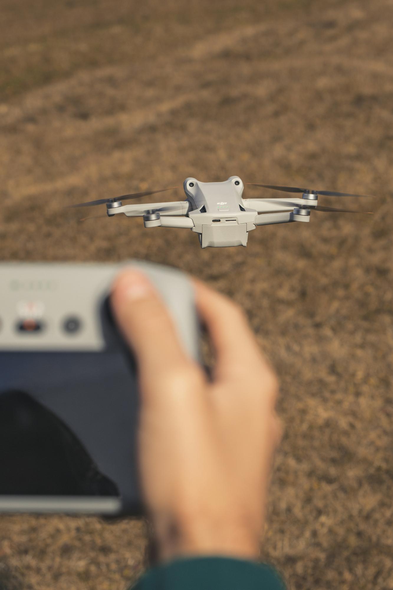
by Shutter Speed (https://unsplash.com/@shutter_speed_)
Regulatory Considerations and Best Practices
Operating drones involves compliance with various regulations. Understanding local and international laws is crucial for effective drone site mapping. Certification may be required for commercial operations, ensuring safety and legal adherence.
Adopt best practices to maximize efficiency and safety. Regularly update knowledge on regulatory changes to stay compliant. Engage with certified training programs to enhance skills and understanding of drone technologies.
Key regulatory considerations include:
- Obtaining necessary permits and certifications
- Understanding privacy laws and airspace restrictions
- Staying informed on regulatory updates
Following these best practices ensures safe and lawful drone operations. Compliance not only protects against legal issues but also promotes trust with stakeholders.
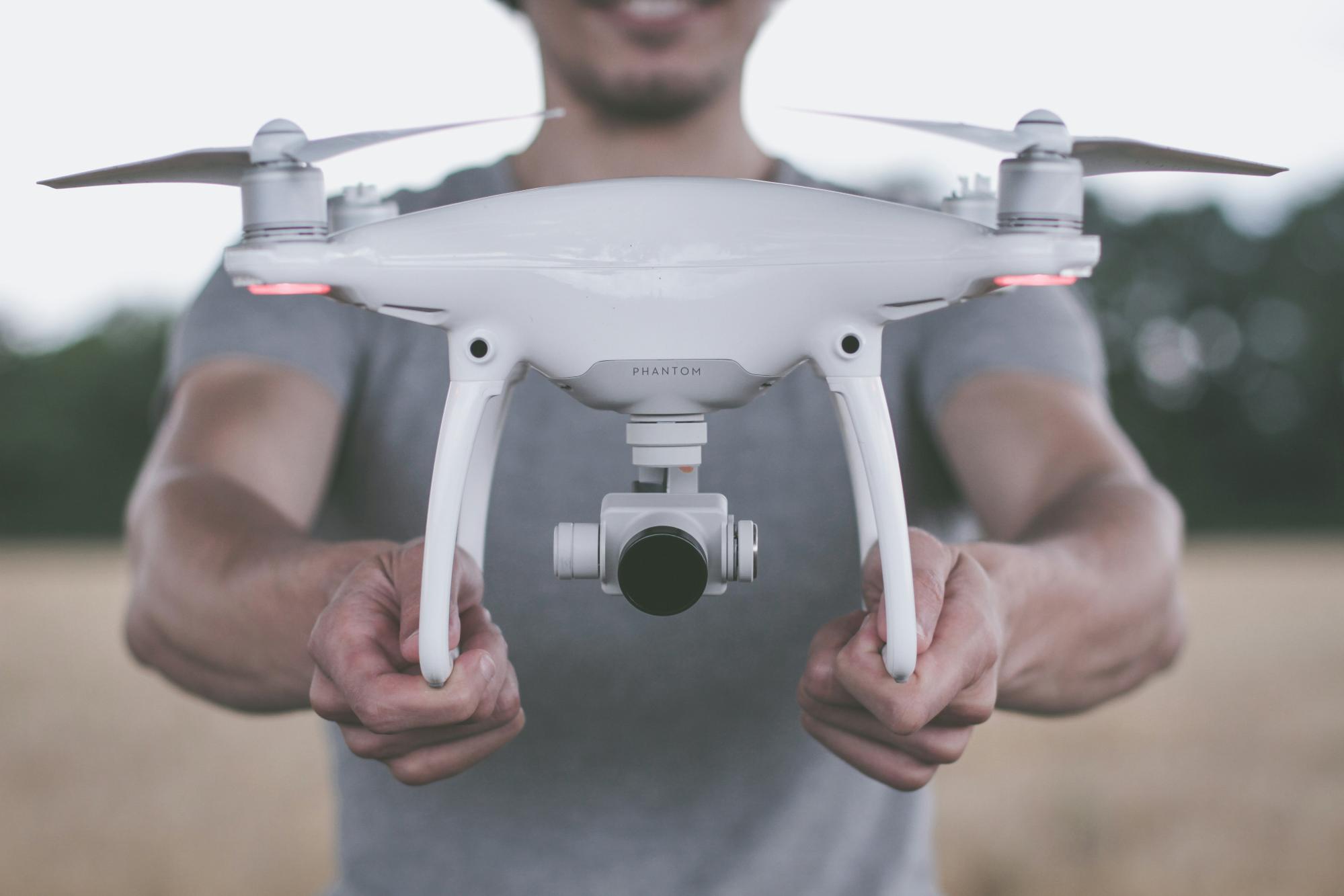
by Christian Langenhan (https://unsplash.com/@heinrichheld)
The Future of Drone Site Mapping Technology
Drone site mapping technology continues to evolve rapidly. Future advancements promise enhanced capabilities and greater accessibility. Innovations are paving the way for more sophisticated data collection and analysis.
Emerging trends include artificial intelligence integration and improved sensor technologies. These advancements will allow for smarter, real-time decision-making. Increased automation is another anticipated development, reducing human intervention and increasing efficiency.
Potential future developments:
- AI-driven data processing
- Enhanced battery life for longer flights
- Advanced sensors for diverse applications
The future holds immense potential for drone technology. It's poised to revolutionize industries by providing even more accurate, timely insights.
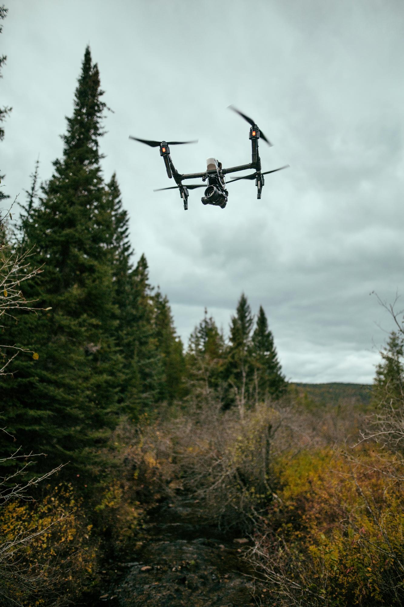
by Sam McGhee (https://unsplash.com/@sammcghee)
Conclusion: Embracing the Benefits of Drone Site Mapping
Drone site mapping offers transformative benefits across various industries. Its advantages in precision, efficiency, and safety are compelling reasons to adopt this technology.
As drone capabilities expand, industries will continue to benefit from innovation. Embracing drone site mapping can propel projects towards improved productivity and reduced costs, ensuring a competitive edge in a dynamic market.